Land That Stops Moving Into Water
Shoreline Protection in Houston for Properties Losing Ground to Wave Action and Erosion
Unprotected shorelines along the Texas Gulf Coast erode at measurable rates when wave action, boat wakes, and storm runoff remove soil faster than natural vegetation can stabilize it. You observe this as exposed tree roots, collapsing banks, or increasing distances between your property line markers and the current waterline. Third Coast Marine Construction installs structural barriers and stabilization systems that interrupt erosion patterns before property loss becomes severe enough to threaten buildings, utilities, or waterfront access structures.
Protection systems function by absorbing wave energy, redirecting water flow away from vulnerable soil, or creating physical barriers that prevent direct contact between moving water and erodible substrate. The approach varies based on shoreline slope, typical wave height, whether the property faces open water with long fetch distances, and the composition of existing soil layers. Clay banks erode differently than sandy deposits, requiring different intervention strategies.
Schedule a shoreline assessment to measure current erosion rates and identify the most effective protection approach for your property's water exposure.
Why Erosion Happens and How to Stop It
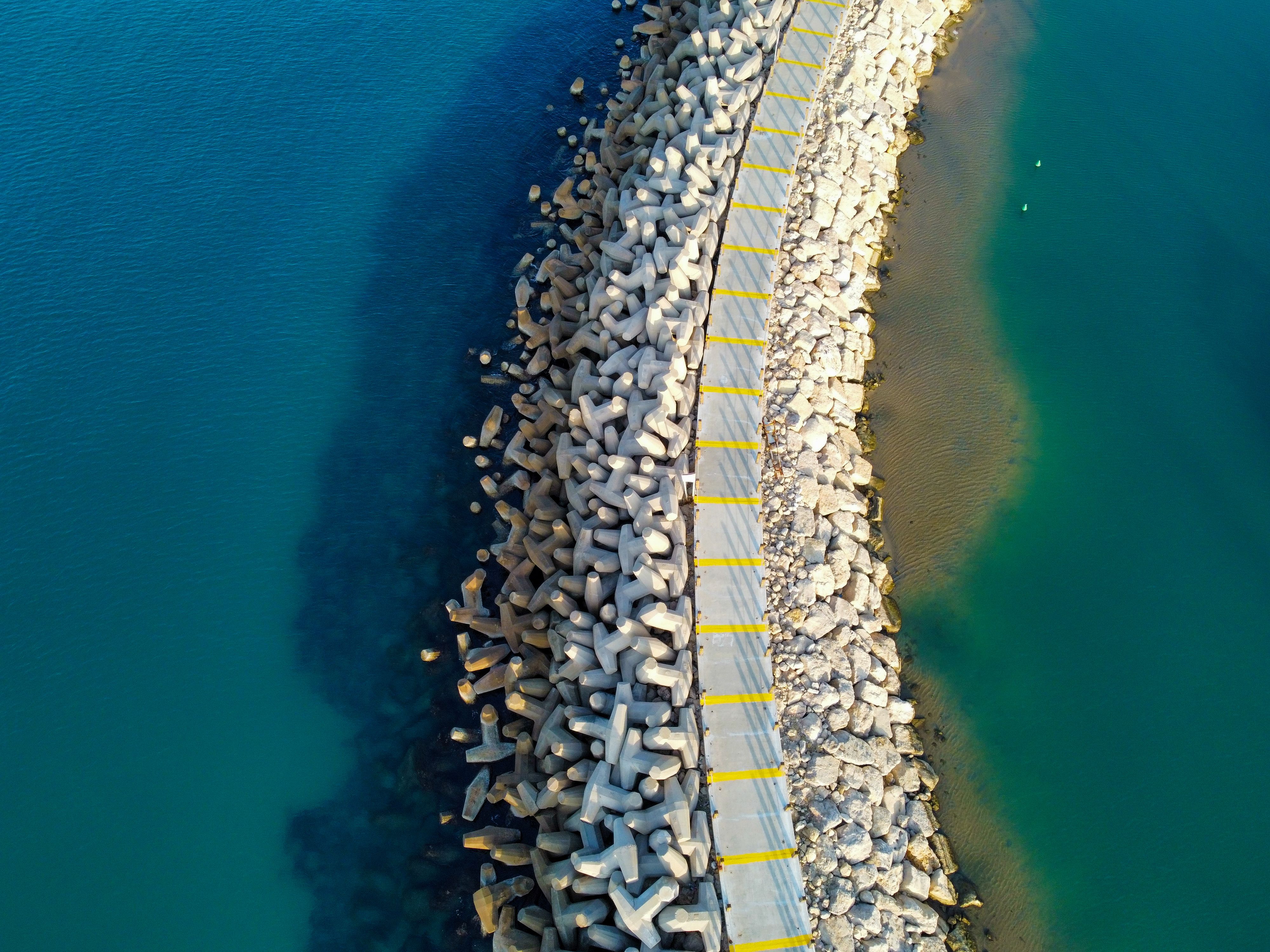
Erosion accelerates when natural shoreline vegetation is removed, when increased boat traffic generates repetitive wave impact, or when upstream development changes runoff patterns that concentrate water flow at specific shoreline points. Third Coast Marine Construction evaluates these contributing factors during site assessment to address root causes rather than only treating visible symptoms. Solutions may include seawalls that create vertical barriers against wave impact, riprap installations that dissipate energy through irregular stone placement, or bulkhead systems that retain soil while allowing controlled drainage.
After installation, your shoreline maintains its position during storm events and daily wave action that previously removed inches of soil per season. Water no longer undercuts banks or creates overhangs that collapse under their own weight. Vegetation can establish in protected zones behind structural barriers, adding secondary stabilization that reduces maintenance requirements over time. Property boundaries remain where surveys placed them rather than retreating inland with each weather event.
Protection systems require drainage provisions to prevent hydrostatic pressure from building behind barriers, which can cause structural failure if groundwater and runoff cannot escape. Weep holes, drainage aggregate, or relief valves are incorporated based on soil permeability and typical water table levels observed in Houston area bayous and Corpus Christi bay locations.
Answers to Frequent Shoreline Questions
Property owners facing erosion challenges often need clarification on protection methods and expected outcomes before proceeding.
What causes some shorelines to erode faster than others?
Exposure to prevailing wind direction, proximity to boat channels, shoreline slope angle, and soil composition all affect erosion rates, with properties facing southeast winds along the Gulf Coast experiencing greater wave energy than sheltered coves or protected bayou sections.
How do you measure current erosion rates?
Comparison of property surveys, aerial photographs from different years, or physical markers placed at known distances from the waterline document how much land has been lost over specific time periods, providing baseline data for projecting future loss without intervention.
When is erosion severe enough to require protection?
Intervention becomes necessary when property loss threatens structures, when shoreline retreat exposes utility lines or septic systems, or when erosion rates indicate significant land value loss over the next five to ten years without stabilization.
What materials withstand constant water exposure?
Marine-grade concrete, interlocking sheet piling, and properly graded riprap stone resist deterioration from saltwater, freshwater, and the alternating wet-dry cycles common in tidal and lake environments throughout Houston and Corpus Christi service areas.
Why does erosion sometimes increase after heavy rain?
Saturated soil loses cohesion and flows more easily when wave action impacts the shoreline, and increased runoff from upstream areas concentrates water volume at outfall points, accelerating erosion at those specific locations compared to adjacent protected sections.
Third Coast Marine Construction develops shoreline protection strategies based on documented erosion patterns, site-specific water conditions, and long-term property preservation objectives. Arrange a property evaluation to review erosion evidence and discuss protection options that address your waterfront's particular exposure and soil characteristics.